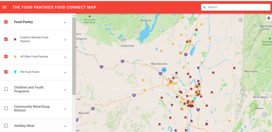
Food Connect Map
The Food Pantries kicked off the project by gathering comprehensive community food resource information, then creating an asset map that includes resources such as food pantries, community and senior meals, summer feeding programs for children, and product access.
We also collected census information in order to visually see areas of greater need. The darker pink the census tract is shaded on the map the higher percentage of people living in that community have a household income of 185% of the poverty line or lower – a common income measurement of need used by Government programs such as USDA and WIC.
The map and data are vital visual tools guiding our process to identify geographic areas with the greatest gaps in services and specific barriers to food access: such as stigma, transportation, hours of pantry operation, consumers needs, and preferences as we work to connect those in need with food pantries and other resources.
This is truly a collaborative effort and we are grateful to our funders and partners working with us on this important project and all of our work. We believe all people struggling with food insecurity should have access to food pantry resources in times of need.